2008 : Between Atworth and Shaw
Introduction
The photograph on this page of 2008 : Between Atworth and Shaw by Maurice Pullin as part of the Geograph project.
The Geograph project started in 2005 with the aim of publishing, organising and preserving representative images for every square kilometre of Great Britain, Ireland and the Isle of Man.

There are currently over 7.5m images from over 14,400 individuals and you can help contribute to the project by visiting https://www.geograph.org.uk
2008 : Between Atworth and Shaw
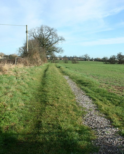
Image: © Maurice Pullin Taken: 4 Feb 2008
The track leads to the local sewage works then on to Whitley Farm. This does not accord with OS Explorer 156 but can be confirmed in Google Earth.
Images are licensed for reuse under creativecommons.org/licenses/by-sa/2.0
Image Location


Leaflet Map data © OpenStreetMap
Latitude
51.39192
Longitude
-2.174142