Muddy field at Great Wakering
Introduction
The photograph on this page of Muddy field at Great Wakering by David Kemp as part of the Geograph project.
The Geograph project started in 2005 with the aim of publishing, organising and preserving representative images for every square kilometre of Great Britain, Ireland and the Isle of Man.

There are currently over 7.5m images from over 14,400 individuals and you can help contribute to the project by visiting https://www.geograph.org.uk
Muddy field at Great Wakering
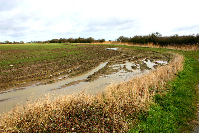
Image: © David Kemp Taken: 17 Mar 2021
The footpath on the right leads from Common Road to Oxenham Farm and is often waterlogged further on.
Images are licensed for reuse under creativecommons.org/licenses/by-sa/2.0
Image Location
Latitude
51.556809
Longitude
0.815311