Bakers Lane
Introduction
The photograph on this page of Bakers Lane by Anne Burgess as part of the Geograph project.
The Geograph project started in 2005 with the aim of publishing, organising and preserving representative images for every square kilometre of Great Britain, Ireland and the Isle of Man.

There are currently over 7.5m images from over 14,400 individuals and you can help contribute to the project by visiting https://www.geograph.org.uk
Bakers Lane
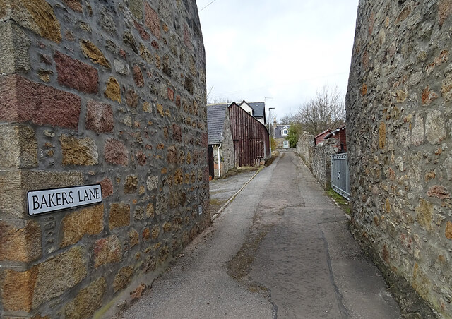
Image: © Anne Burgess Taken: 15 Mar 2021
Archiestown is a classic example of a planned village of the early 19th century, with a wide main street crossed at right angles by a series of narrow lanes.
Images are licensed for reuse under creativecommons.org/licenses/by-sa/2.0
Image Location
Latitude
57.481489
Longitude
-3.284657