Chattisham village sign
Introduction
The photograph on this page of Chattisham village sign by Adrian S Pye as part of the Geograph project.
The Geograph project started in 2005 with the aim of publishing, organising and preserving representative images for every square kilometre of Great Britain, Ireland and the Isle of Man.

There are currently over 7.5m images from over 14,400 individuals and you can help contribute to the project by visiting https://www.geograph.org.uk
Chattisham village sign
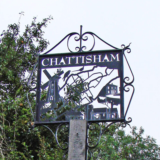
Image: © Adrian S Pye Taken: 30 Aug 2007
The silhouette style sign is based on a map of the village with a bit of Hintlesham and the A1071, thrown in for good measure. The smock mill used to stand about 400 yards north of the church on Chattisham Lane. Chattisham Hall, on centre right, is also featured. At the bottom is The Clays, the oldest house in the parish and only a few yards from this sign, and of course, the church of All Saints & St Margaret. https://www.geograph.org.uk/photo/4291607
Images are licensed for reuse under creativecommons.org/licenses/by-sa/2.0
Image Location
Latitude
52.03826
Longitude
1.045557