Farmland track east of Cardewlees Farm
Introduction
The photograph on this page of Farmland track east of Cardewlees Farm by Luke Shaw as part of the Geograph project.
The Geograph project started in 2005 with the aim of publishing, organising and preserving representative images for every square kilometre of Great Britain, Ireland and the Isle of Man.

There are currently over 7.5m images from over 14,400 individuals and you can help contribute to the project by visiting https://www.geograph.org.uk
Farmland track east of Cardewlees Farm
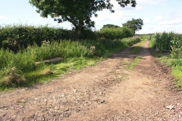
Image: © Luke Shaw Taken: 8 Aug 2019
There is an invalidated Ordnance Survey benchmark Image on a felled gatepost on the left hand side of the track
Images are licensed for reuse under creativecommons.org/licenses/by-sa/2.0
Image Location
Latitude
54.85074
Longitude
-3.002047