Milestone Avenue, Charvil.
Introduction
The photograph on this page of Milestone Avenue, Charvil. by Colin Bates as part of the Geograph project.
The Geograph project started in 2005 with the aim of publishing, organising and preserving representative images for every square kilometre of Great Britain, Ireland and the Isle of Man.

There are currently over 7.5m images from over 14,400 individuals and you can help contribute to the project by visiting https://www.geograph.org.uk
Milestone Avenue, Charvil.
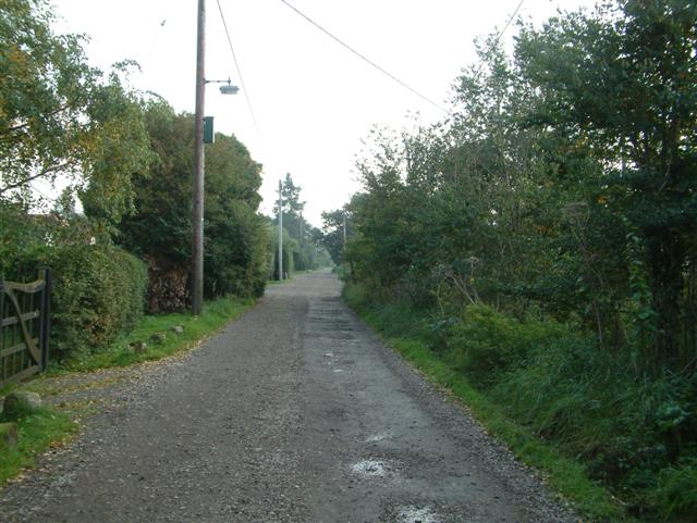
Image: © Colin Bates Taken: 17 Oct 2005
Milestone Avenue, Charvil. There are houses only on the East side of this road (the picture is taken looking towards the A4), the west side of the road is fields all the way to Sonning. The road is heavily damaged, with some very large holes.
Images are licensed for reuse under creativecommons.org/licenses/by-sa/2.0
Image Location


Leaflet Map data © OpenStreetMap
Latitude
51.479526
Longitude
-0.892599