Barras Lane at junction with road to Dalston railway station
Introduction
The photograph on this page of Barras Lane at junction with road to Dalston railway station by Luke Shaw as part of the Geograph project.
The Geograph project started in 2005 with the aim of publishing, organising and preserving representative images for every square kilometre of Great Britain, Ireland and the Isle of Man.

There are currently over 7.5m images from over 14,400 individuals and you can help contribute to the project by visiting https://www.geograph.org.uk
Barras Lane at junction with road to Dalston railway station
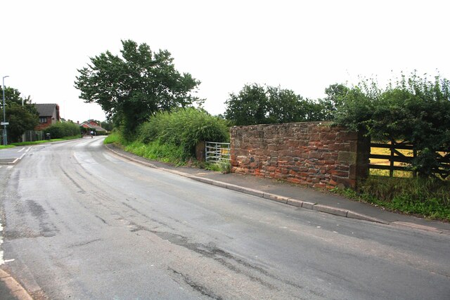
Image: © Luke Shaw Taken: 8 Aug 2019
The wall on the right hand side of the road is the remains of Beck's Barn which had an Ordnance Survey cut mark at its far end, see www.bench-marks.org.uk/bm112298. There is a scratched arrowhead Image at the near end of the wall.
Images are licensed for reuse under creativecommons.org/licenses/by-sa/2.0
Image Location
Latitude
54.84474
Longitude
-2.988505