NRA benchmark on Fleming Way bridge over Crawter's Brook
Introduction
The photograph on this page of NRA benchmark on Fleming Way bridge over Crawter's Brook by Robin Webster as part of the Geograph project.
The Geograph project started in 2005 with the aim of publishing, organising and preserving representative images for every square kilometre of Great Britain, Ireland and the Isle of Man.

There are currently over 7.5m images from over 14,400 individuals and you can help contribute to the project by visiting https://www.geograph.org.uk
NRA benchmark on Fleming Way bridge over Crawter's Brook
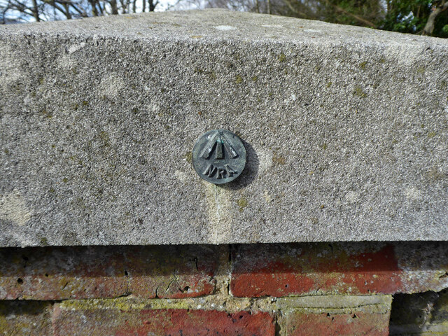
Image: © Robin Webster Taken: 13 Mar 2021
On the northern, downstream parapet, one was not noticed on the upstream parapet. NRA presumably stands for National Rivers Authority, this was taken over by the Environment Agency. The NRA only existed from 1989 to 1996, which dates this, unless the EA used up old stocks. The actual bridge is I think older.
Images are licensed for reuse under creativecommons.org/licenses/by-sa/2.0
Image Location
Latitude
51.135358
Longitude
-0.172687