National Cycle Network Route 75 at Uddingston
Introduction
The photograph on this page of National Cycle Network Route 75 at Uddingston by wrobison as part of the Geograph project.
The Geograph project started in 2005 with the aim of publishing, organising and preserving representative images for every square kilometre of Great Britain, Ireland and the Isle of Man.

There are currently over 7.5m images from over 14,400 individuals and you can help contribute to the project by visiting https://www.geograph.org.uk
National Cycle Network Route 75 at Uddingston
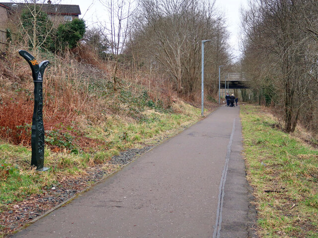
Image: © wrobison Taken: 9 Mar 2021
A traffic free section next to the railway near Uddingston station.
Images are licensed for reuse under creativecommons.org/licenses/by-sa/2.0
Image Location
Latitude
55.823466
Longitude
-4.07967