Road junction, Muir of Tarradale
Introduction
The photograph on this page of Road junction, Muir of Tarradale by Stephen Craven as part of the Geograph project.
The Geograph project started in 2005 with the aim of publishing, organising and preserving representative images for every square kilometre of Great Britain, Ireland and the Isle of Man.

There are currently over 7.5m images from over 14,400 individuals and you can help contribute to the project by visiting https://www.geograph.org.uk
Road junction, Muir of Tarradale
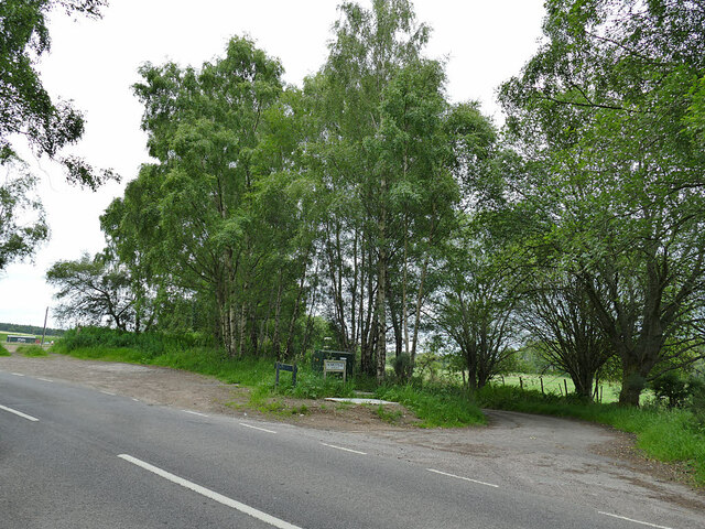
Image: © Stephen Craven Taken: 6 Jul 2019
The road in the foreground is the B9169; beyond is a minor road serving isolated properties, alongside the route of the former Black Isle Railway in the trees to the left.
Images are licensed for reuse under creativecommons.org/licenses/by-sa/2.0
Image Location


Leaflet Map data © OpenStreetMap
Latitude
57.520642
Longitude
-4.432396