Brickyard Lane east of Farnsfield
Introduction
The photograph on this page of Brickyard Lane east of Farnsfield by Richard Vince as part of the Geograph project.
The Geograph project started in 2005 with the aim of publishing, organising and preserving representative images for every square kilometre of Great Britain, Ireland and the Isle of Man.

There are currently over 7.5m images from over 14,400 individuals and you can help contribute to the project by visiting https://www.geograph.org.uk
Brickyard Lane east of Farnsfield
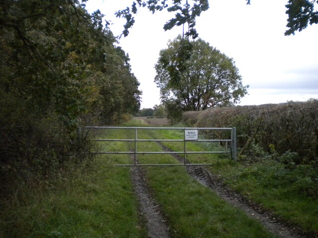
Image: © Richard Vince Taken: 24 Oct 2020
A farm track parallel to the Southwell Trail, here provided with a gate to prevent unauthorised access to the field beyond. The gate carries a sign instructing members of the public to keep to the public footpath, which is the other side of the hedge on the right.
Images are licensed for reuse under creativecommons.org/licenses/by-sa/2.0
Image Location
Latitude
53.10315
Longitude
-1.015215