Farmyard at Harbins farm
Introduction
The photograph on this page of Farmyard at Harbins farm by Nigel Mykura as part of the Geograph project.
The Geograph project started in 2005 with the aim of publishing, organising and preserving representative images for every square kilometre of Great Britain, Ireland and the Isle of Man.

There are currently over 7.5m images from over 14,400 individuals and you can help contribute to the project by visiting https://www.geograph.org.uk
Farmyard at Harbins farm
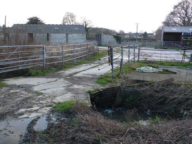
Image: © Nigel Mykura Taken: 4 Feb 2008
This is where the track running NW from Harbins Farm near Glanvilles Wootton crosses the small stream that runs into the Caundle Brook in the Blackmoor Vale
Images are licensed for reuse under creativecommons.org/licenses/by-sa/2.0
Image Location


Leaflet Map data © OpenStreetMap
Latitude
50.88117
Longitude
-2.445716