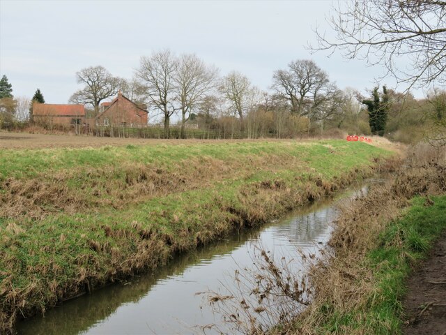
A map reading error?
Introduction
The photograph on this page of A map reading error? by Gordon Hatton as part of the Geograph project.
The Geograph project started in 2005 with the aim of publishing, organising and preserving representative images for every square kilometre of Great Britain, Ireland and the Isle of Man.
There are currently over 7.5m images from over 14,400 individuals and you can help contribute to the project by visiting https://www.geograph.org.uk

Image: © Gordon Hatton Taken: 7 Mar 2021
Following the footpath leading north from near the railway line I expected to be able to cross the River Foss without making an Olympic distance leap across to the far bank. The path reaches here and goes no further. There is no bridge, ferry or even a rope hanging from a tree whereby one might swing across Tarzan style. There is a path along the bankside [not shown on map] and is obviously used by local dog walkers. The Foss here is relatively wide between straight sided banks and was made thus as this section was once canalised.

