No. 16 Fusehill Street at Close Street junction
Introduction
The photograph on this page of No. 16 Fusehill Street at Close Street junction by Luke Shaw as part of the Geograph project.
The Geograph project started in 2005 with the aim of publishing, organising and preserving representative images for every square kilometre of Great Britain, Ireland and the Isle of Man.

There are currently over 7.5m images from over 14,400 individuals and you can help contribute to the project by visiting https://www.geograph.org.uk
No. 16 Fusehill Street at Close Street junction
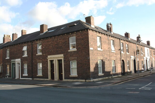
Image: © Luke Shaw Taken: 8 Aug 2019
There is an Ordnance Survey benchmark Image on the corner, left hand face, of the house at the junction
Images are licensed for reuse under creativecommons.org/licenses/by-sa/2.0
Image Location
Latitude
54.890638
Longitude
-2.923057