Derelict farm buildings, Newmachar
Introduction
The photograph on this page of Derelict farm buildings, Newmachar by Bill Harrison as part of the Geograph project.
The Geograph project started in 2005 with the aim of publishing, organising and preserving representative images for every square kilometre of Great Britain, Ireland and the Isle of Man.

There are currently over 7.5m images from over 14,400 individuals and you can help contribute to the project by visiting https://www.geograph.org.uk
Derelict farm buildings, Newmachar
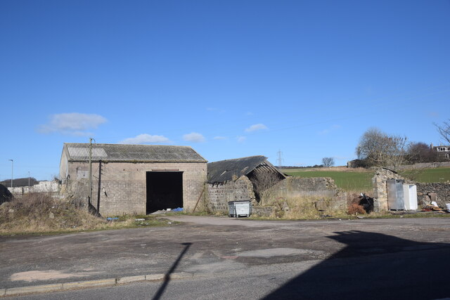
Image: © Bill Harrison Taken: 13 Mar 2021
This was once part of the hamlet of Reisque, but now forms the boundary of Newmachar village. Reisque or Risque means 'wet or soft mossy ground covered with coarse grass' according to Celtic Placenames in Aberdeenshire by John Milne.
Images are licensed for reuse under creativecommons.org/licenses/by-sa/2.0
Image Location
Latitude
57.270232
Longitude
-2.194317