Derelict cottages, Newmachar
Introduction
The photograph on this page of Derelict cottages, Newmachar by Bill Harrison as part of the Geograph project.
The Geograph project started in 2005 with the aim of publishing, organising and preserving representative images for every square kilometre of Great Britain, Ireland and the Isle of Man.

There are currently over 7.5m images from over 14,400 individuals and you can help contribute to the project by visiting https://www.geograph.org.uk
Derelict cottages, Newmachar
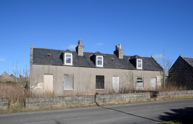
Image: © Bill Harrison Taken: 13 Mar 2021
The dwellings are named as Mameulah Cottages on old OS maps and were presumably associated with the eponymous farm, a few hundred metres to the north. 'Mameulah' means a dark-coloured hill according to Celtic Placenames in Aberdeenshire by John Milne.
Images are licensed for reuse under creativecommons.org/licenses/by-sa/2.0
Image Location
Latitude
57.270415
Longitude
-2.192163