Entrance to track, now blocked since construction of recycling facility
Introduction
The photograph on this page of Entrance to track, now blocked since construction of recycling facility by Luke Shaw as part of the Geograph project.
The Geograph project started in 2005 with the aim of publishing, organising and preserving representative images for every square kilometre of Great Britain, Ireland and the Isle of Man.

There are currently over 7.5m images from over 14,400 individuals and you can help contribute to the project by visiting https://www.geograph.org.uk
Entrance to track, now blocked since construction of recycling facility
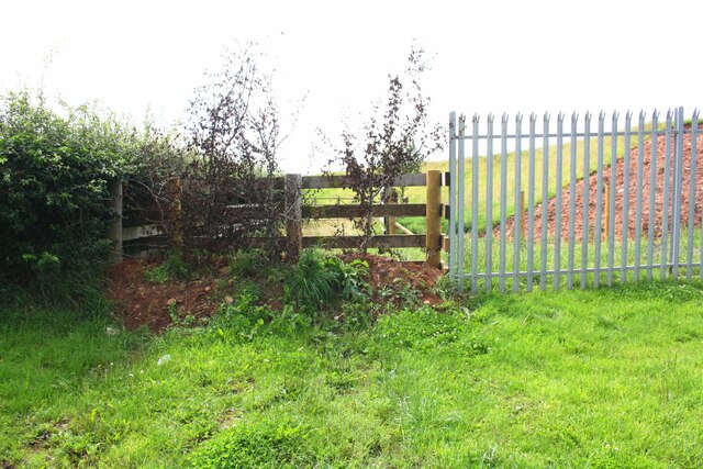
Image: © Luke Shaw Taken: 3 Aug 2019
Ordnance Survey records indicate that a benchmark levelled at 54.936m above Newlyn Datum was verified in 1970 on a gatepost at the right hand side of this track entrance from Syke Road
Images are licensed for reuse under creativecommons.org/licenses/by-sa/2.0
Image Location
Latitude
54.815636
Longitude
-3.140612