Burnfoot Bridge taking King Street over Speet Gill
Introduction
The photograph on this page of Burnfoot Bridge taking King Street over Speet Gill by Roger Templeman as part of the Geograph project.
The Geograph project started in 2005 with the aim of publishing, organising and preserving representative images for every square kilometre of Great Britain, Ireland and the Isle of Man.

There are currently over 7.5m images from over 14,400 individuals and you can help contribute to the project by visiting https://www.geograph.org.uk
Burnfoot Bridge taking King Street over Speet Gill
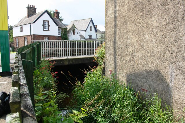
Image: © Roger Templeman Taken: 3 Aug 2019
Ordnance Survey records indicate that a 1GL bolt benchmark was levevelled at 67.900 feet above Liverpool Datum on a bridge at this location in 1844 during the Kendal to Carlisle Survey. The surveyor's description was 'Mark 342. Bolt in North-west pier of Burnford Bridge ; 4.40 ft. below top of battlement'
Images are licensed for reuse under creativecommons.org/licenses/by-sa/2.0
Image Location
Latitude
54.826622
Longitude
-3.157266