Wall defending emergent stream
Introduction
The photograph on this page of Wall defending emergent stream by Trevor Littlewood as part of the Geograph project.
The Geograph project started in 2005 with the aim of publishing, organising and preserving representative images for every square kilometre of Great Britain, Ireland and the Isle of Man.

There are currently over 7.5m images from over 14,400 individuals and you can help contribute to the project by visiting https://www.geograph.org.uk
Wall defending emergent stream
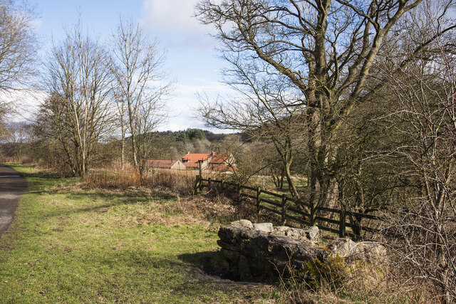
Image: © Trevor Littlewood Taken: 12 Mar 2021
Perhaps not so much defending the stream but protecting passers-by from falling into the flow which emerges from beneath an old railway bed, now a path and cycleway. It's symbolised on OS maps at large scales as 'Iss'' meaning the issuing of a stream. Low Water House is the building with the red-tiled roof.
Images are licensed for reuse under creativecommons.org/licenses/by-sa/2.0
Image Location
Latitude
54.764305
Longitude
-1.709657