The Monarch's Way
Introduction
The photograph on this page of The Monarch's Way by Anthony O'Neil as part of the Geograph project.
The Geograph project started in 2005 with the aim of publishing, organising and preserving representative images for every square kilometre of Great Britain, Ireland and the Isle of Man.

There are currently over 7.5m images from over 14,400 individuals and you can help contribute to the project by visiting https://www.geograph.org.uk
The Monarch's Way
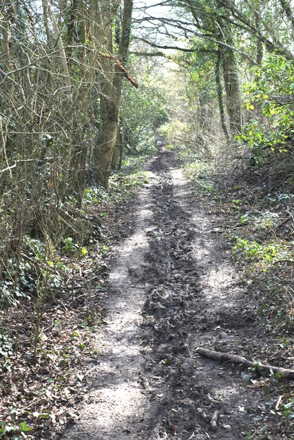
Image: © Anthony O'Neil Taken: 9 Mar 2021
Southwards near Ridings Wood. If the Monarch (Charles II) travelled along here in the 1600s. I hope he had stout footwear: currently (in dry weather) it is a five hundred metre trench of glutinous mud, hemmed in by scrub and brambles. One wonders what it must be like after heavy rain..
Images are licensed for reuse under creativecommons.org/licenses/by-sa/2.0
Image Location
Latitude
51.416019
Longitude
-2.655814