Ridings Wood
Introduction
The photograph on this page of Ridings Wood by Anthony O'Neil as part of the Geograph project.
The Geograph project started in 2005 with the aim of publishing, organising and preserving representative images for every square kilometre of Great Britain, Ireland and the Isle of Man.

There are currently over 7.5m images from over 14,400 individuals and you can help contribute to the project by visiting https://www.geograph.org.uk
Ridings Wood
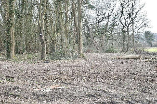
Image: © Anthony O'Neil Taken: 9 Mar 2021
Sections being cleared for further house building and associated works.
Images are licensed for reuse under creativecommons.org/licenses/by-sa/2.0
Image Location
Latitude
51.416713
Longitude
-2.660282