Occupation Lane, Shooters Hill
Introduction
The photograph on this page of Occupation Lane, Shooters Hill by Marathon as part of the Geograph project.
The Geograph project started in 2005 with the aim of publishing, organising and preserving representative images for every square kilometre of Great Britain, Ireland and the Isle of Man.

There are currently over 7.5m images from over 14,400 individuals and you can help contribute to the project by visiting https://www.geograph.org.uk
Occupation Lane, Shooters Hill
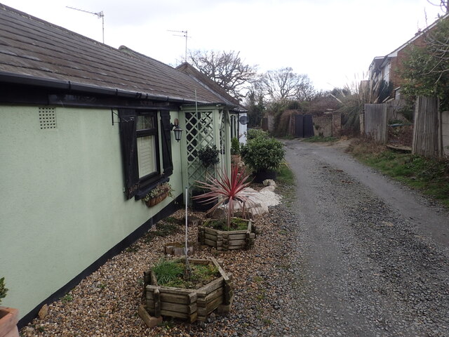
Image: © Marathon Taken: 11 Mar 2021
Occupation Lane is a very old track as can be seen on this pre First World War map where it can be seen running north-south in the centre of the map - https://maps.nls.uk/geo/explore/#zoom=17&lat=51.47384&lon=0.06894&layers=168&b=1 The surface is very poor and is quite narrow in places - see also https://www.geograph.org.uk/photo/6775093
Images are licensed for reuse under creativecommons.org/licenses/by-sa/2.0
Image Location
Latitude
51.472816
Longitude
0.067931