Trans Pennine Trail
Introduction
The photograph on this page of Trans Pennine Trail by Gerald England as part of the Geograph project.
The Geograph project started in 2005 with the aim of publishing, organising and preserving representative images for every square kilometre of Great Britain, Ireland and the Isle of Man.

There are currently over 7.5m images from over 14,400 individuals and you can help contribute to the project by visiting https://www.geograph.org.uk
Trans Pennine Trail
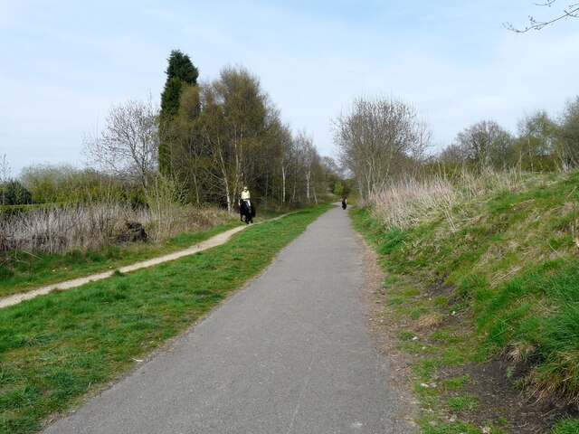
Image: © Gerald England Taken: 24 Apr 2010
The Trans Pennine Trail and National Cycle Network Route #62 follows the route of the former Godley Junction to Apethorn Railway. Cyclists and walkers share the path on the right, whilst horse-riders are supposed to follow a bridle-path to the side. At various points the bridle-path swaps sides.
Images are licensed for reuse under creativecommons.org/licenses/by-sa/2.0
Image Location
Latitude
53.441034
Longitude
-2.083362