East Kirkcarswell
Introduction
The photograph on this page of East Kirkcarswell by Chris Newman as part of the Geograph project.
The Geograph project started in 2005 with the aim of publishing, organising and preserving representative images for every square kilometre of Great Britain, Ireland and the Isle of Man.

There are currently over 7.5m images from over 14,400 individuals and you can help contribute to the project by visiting https://www.geograph.org.uk
East Kirkcarswell
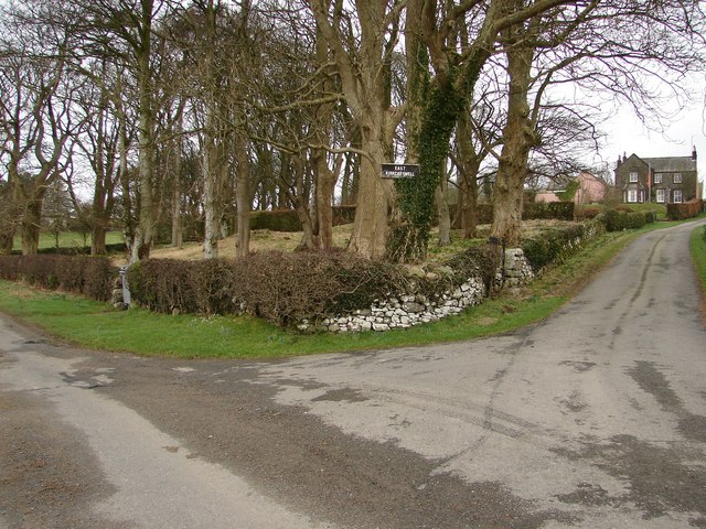
Image: © Chris Newman Taken: 3 Feb 2008
Situated 1/2m NW off the A711 (Kirkcudbright-Dalbeattie coast road), this farm is also the administration centre for the annual Wicker Man Festival.
Images are licensed for reuse under creativecommons.org/licenses/by-sa/2.0
Image Location
Latitude
54.822606
Longitude
-3.937454