Cattle grid and buildings at Eskrigg Farm
Introduction
The photograph on this page of Cattle grid and buildings at Eskrigg Farm by Roger Templeman as part of the Geograph project.
The Geograph project started in 2005 with the aim of publishing, organising and preserving representative images for every square kilometre of Great Britain, Ireland and the Isle of Man.

There are currently over 7.5m images from over 14,400 individuals and you can help contribute to the project by visiting https://www.geograph.org.uk
Cattle grid and buildings at Eskrigg Farm
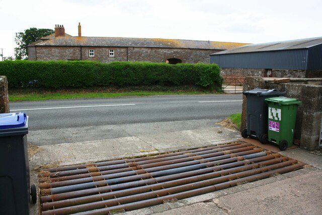
Image: © Roger Templeman Taken: 26 Jul 2019
There is an Ordnance Survey benchmark Image on top of the stone gatepost by the wheelie bins
Images are licensed for reuse under creativecommons.org/licenses/by-sa/2.0
Image Location
Latitude
54.856772
Longitude
-3.180717