Oxford Canal, west of Brownsover
Introduction
The photograph on this page of Oxford Canal, west of Brownsover by Stephen McKay as part of the Geograph project.
The Geograph project started in 2005 with the aim of publishing, organising and preserving representative images for every square kilometre of Great Britain, Ireland and the Isle of Man.

There are currently over 7.5m images from over 14,400 individuals and you can help contribute to the project by visiting https://www.geograph.org.uk
Oxford Canal, west of Brownsover
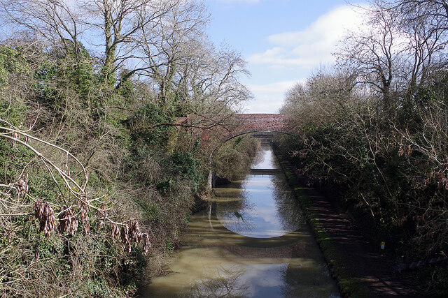
Image: © Stephen McKay Taken: 9 Mar 2021
Looking down from the old railway bridge that now carries the Viaduct Cycleway towards bridge 52 and, beyond that, bridge 53 (Consul Road).
Images are licensed for reuse under creativecommons.org/licenses/by-sa/2.0
Image Location
Latitude
52.389303
Longitude
-1.268782