Benchmark on outbuildings of Woodleigh Hall
Introduction
The photograph on this page of Benchmark on outbuildings of Woodleigh Hall by Stephen Craven as part of the Geograph project.
The Geograph project started in 2005 with the aim of publishing, organising and preserving representative images for every square kilometre of Great Britain, Ireland and the Isle of Man.

There are currently over 7.5m images from over 14,400 individuals and you can help contribute to the project by visiting https://www.geograph.org.uk
Benchmark on outbuildings of Woodleigh Hall
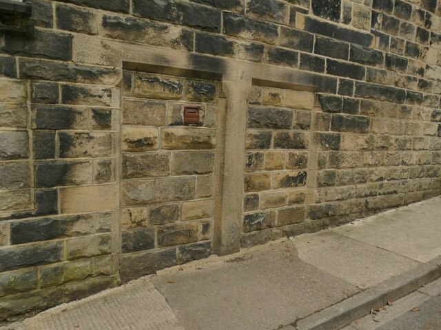
Image: © Stephen Craven Taken: 7 Mar 2021
For context see Image The benchmark on the stone jamb between two blocked doorways is shown on older large scale maps with a height of 367.84ft (112.12m).
Images are licensed for reuse under creativecommons.org/licenses/by-sa/2.0
Image Location


Leaflet Map data © OpenStreetMap
Latitude
53.841384
Longitude
-1.66653