Bolton Arm of the Manchester Bolton and Bury Canal at Little Lever
Introduction
The photograph on this page of Bolton Arm of the Manchester Bolton and Bury Canal at Little Lever by David Dixon as part of the Geograph project.
The Geograph project started in 2005 with the aim of publishing, organising and preserving representative images for every square kilometre of Great Britain, Ireland and the Isle of Man.

There are currently over 7.5m images from over 14,400 individuals and you can help contribute to the project by visiting https://www.geograph.org.uk
Bolton Arm of the Manchester Bolton and Bury Canal at Little Lever
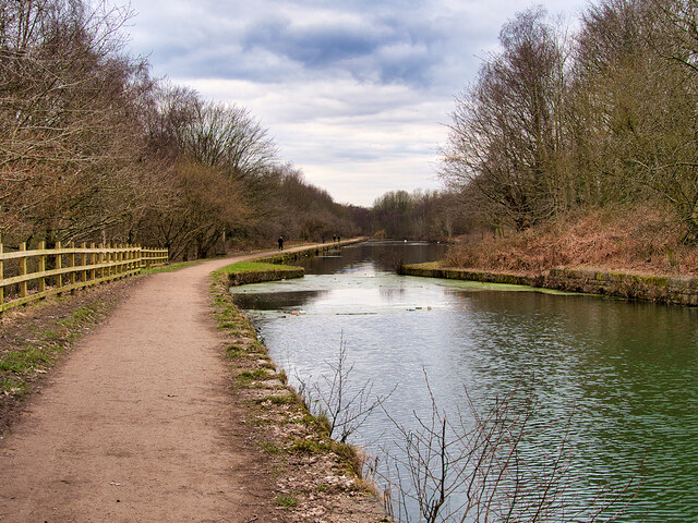
Image: © David Dixon Taken: 5 Mar 2021
The Bolton arm of the canal, behind Ascot Road. There is a groove in each side of the bank at the narrowest point. These were to accommodate stop planks, used when part of the canal was to be drained.
Images are licensed for reuse under creativecommons.org/licenses/by-sa/2.0
Image Location
Latitude
53.558203
Longitude
-2.381282