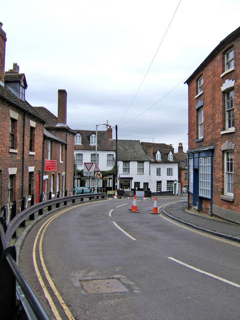
Welch Gate (upper end)
Introduction
The photograph on this page of Welch Gate (upper end) by P L Chadwick as part of the Geograph project.
The Geograph project started in 2005 with the aim of publishing, organising and preserving representative images for every square kilometre of Great Britain, Ireland and the Isle of Man.
There are currently over 7.5m images from over 14,400 individuals and you can help contribute to the project by visiting https://www.geograph.org.uk

Image: © P L Chadwick Taken: 3 Feb 2008
This is the start of the old and steep road known as Welch Gate, looking towards the town centre. An interesting fact about this road is that at one time one in every six buildings was a public house. Today only two survive, the Woodcolliers Arms, which is round the corner on the right, and the Cafe/Bar at Number 1 Welch Gate, which is at the bottom of the road. Today it isn't easy to identify all the former public houses, but although Welch Gate may have lost so many, Bewdley as a whole retains a surprisingly high number for such a relatively small town.

