Restricted byway, Nuffield
Introduction
The photograph on this page of Restricted byway, Nuffield by Andrew Smith as part of the Geograph project.
The Geograph project started in 2005 with the aim of publishing, organising and preserving representative images for every square kilometre of Great Britain, Ireland and the Isle of Man.

There are currently over 7.5m images from over 14,400 individuals and you can help contribute to the project by visiting https://www.geograph.org.uk
Restricted byway, Nuffield
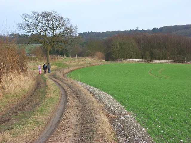
Image: © Andrew Smith Taken: 26 Jan 2008
A stretch of the Chiltern Way heading east below Harcourt Hill.
Images are licensed for reuse under creativecommons.org/licenses/by-sa/2.0
Image Location
Latitude
51.591459
Longitude
-1.044341