Doods Park Road
Introduction
The photograph on this page of Doods Park Road by Ian Capper as part of the Geograph project.
The Geograph project started in 2005 with the aim of publishing, organising and preserving representative images for every square kilometre of Great Britain, Ireland and the Isle of Man.

There are currently over 7.5m images from over 14,400 individuals and you can help contribute to the project by visiting https://www.geograph.org.uk
Doods Park Road
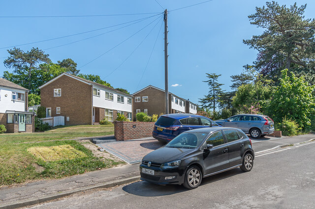
Image: © Ian Capper Taken: 15 May 2020
1960s housing in Doods Park Road, built on the site of a large late Victorian house named Rookwood. Both the Times and the London Gazette report the death of a Margaret Pawle, widow, of that address in May 1965, and it was presumably the sale of the house and land after her death that led to this development.
Images are licensed for reuse under creativecommons.org/licenses/by-sa/2.0
Image Location
Latitude
51.239581
Longitude
-0.192013