The Gatehouse
Introduction
The photograph on this page of The Gatehouse by Ian Capper as part of the Geograph project.
The Geograph project started in 2005 with the aim of publishing, organising and preserving representative images for every square kilometre of Great Britain, Ireland and the Isle of Man.

There are currently over 7.5m images from over 14,400 individuals and you can help contribute to the project by visiting https://www.geograph.org.uk
The Gatehouse
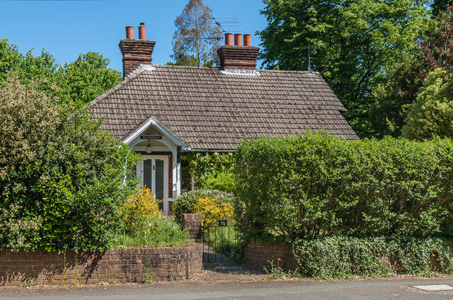
Image: © Ian Capper Taken: 15 May 2020
House in Wray Common Road, the former lodge to the adjacent Mill Lawn, a large house built in 1881.
Images are licensed for reuse under creativecommons.org/licenses/by-sa/2.0
Image Location
Latitude
51.238979
Longitude
-0.186291