Roundham Road
Introduction
The photograph on this page of Roundham Road by Derek Harper as part of the Geograph project.
The Geograph project started in 2005 with the aim of publishing, organising and preserving representative images for every square kilometre of Great Britain, Ireland and the Isle of Man.

There are currently over 7.5m images from over 14,400 individuals and you can help contribute to the project by visiting https://www.geograph.org.uk
Roundham Road
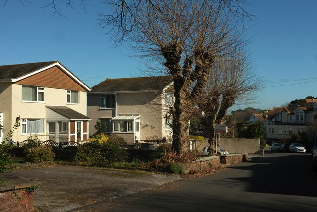
Image: © Derek Harper Taken: 28 Feb 2021
Two of the three houses, each comprising a pair of flats, built in the 1960s in the extensive grounds of a villa, The Firs.
Images are licensed for reuse under creativecommons.org/licenses/by-sa/2.0
Image Location
Latitude
50.429753
Longitude
-3.559502