Lhanbryde Old Kirkyard
Introduction
The photograph on this page of Lhanbryde Old Kirkyard by Anne Burgess as part of the Geograph project.
The Geograph project started in 2005 with the aim of publishing, organising and preserving representative images for every square kilometre of Great Britain, Ireland and the Isle of Man.

There are currently over 7.5m images from over 14,400 individuals and you can help contribute to the project by visiting https://www.geograph.org.uk
Lhanbryde Old Kirkyard
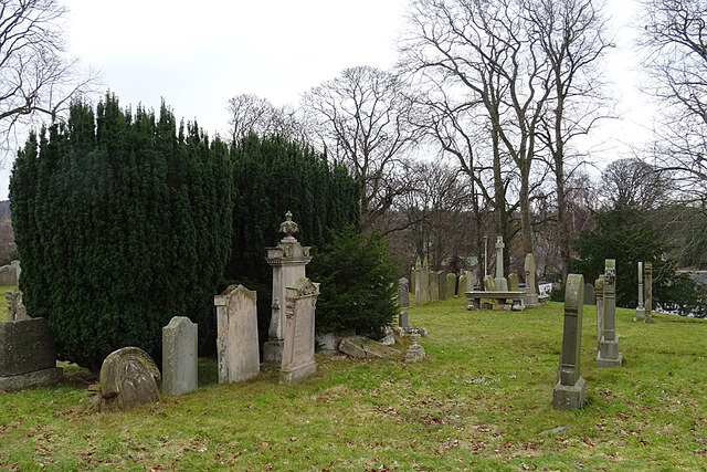
Image: © Anne Burgess Taken: 6 Mar 2021
The kirk here, dedicated to St Bride or St Bridget as the village and parish name suggests, was first mentioned in the early 13th century, and was demolished in 1796.
Images are licensed for reuse under creativecommons.org/licenses/by-sa/2.0
Image Location
Latitude
57.635369
Longitude
-3.221751