Path to Ringley
Introduction
The photograph on this page of Path to Ringley by David Dixon as part of the Geograph project.
The Geograph project started in 2005 with the aim of publishing, organising and preserving representative images for every square kilometre of Great Britain, Ireland and the Isle of Man.

There are currently over 7.5m images from over 14,400 individuals and you can help contribute to the project by visiting https://www.geograph.org.uk
Path to Ringley
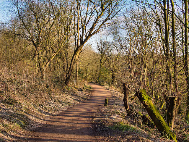
Image: © David Dixon Taken: 27 Feb 2021
The Manchester arm of the canal is not in water after leaving Prestolee. This path leads from the canal towpath to Ringley Road. The remnants of the canal are on the left whilst the River Irwell is below, on the right.
Images are licensed for reuse under creativecommons.org/licenses/by-sa/2.0
Image Location
Latitude
53.546759
Longitude
-2.361711