Hucklemarsh Road
Introduction
The photograph on this page of Hucklemarsh Road by Ian Capper as part of the Geograph project.
The Geograph project started in 2005 with the aim of publishing, organising and preserving representative images for every square kilometre of Great Britain, Ireland and the Isle of Man.

There are currently over 7.5m images from over 14,400 individuals and you can help contribute to the project by visiting https://www.geograph.org.uk
Hucklemarsh Road
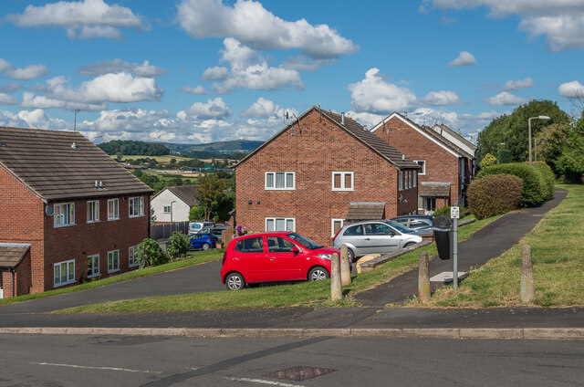
Image: © Ian Capper Taken: 2 Aug 2020
c.1980s housing in Hucklemarsh Road (and Lime Close behind). The path on the right is part of Dodmore Lane, an old track now partly developed (see Image) and part path (as here and in Image and Image) which originally ended just beyond the current Ludlow bypass, but now truncated by that road.
Images are licensed for reuse under creativecommons.org/licenses/by-sa/2.0
Image Location
Latitude
52.37689
Longitude
-2.711254