Post Box, The Broadway, Tynemouth
Introduction
The photograph on this page of Post Box, The Broadway, Tynemouth by Geoff Holland as part of the Geograph project.
The Geograph project started in 2005 with the aim of publishing, organising and preserving representative images for every square kilometre of Great Britain, Ireland and the Isle of Man.

There are currently over 7.5m images from over 14,400 individuals and you can help contribute to the project by visiting https://www.geograph.org.uk
Post Box, The Broadway, Tynemouth
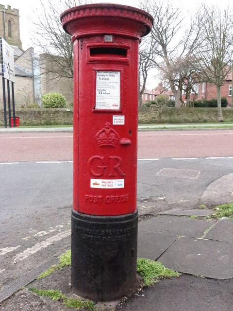
Image: © Geoff Holland Taken: 2 Mar 2021
This post box, which stands at the junction with Kennersdene, dates from the reign of King George V (1910-1936). The Royal Mail is a key partner in the Government's Coronavirus testing programme and collect completed testing kits from over 35,000 specially selected post boxes of which this is one (see stickers attached to the box). For a selection of detailed free to download walking routes in the area visit www.northtynesidewalks.co.uk
Images are licensed for reuse under creativecommons.org/licenses/by-sa/2.0
Image Location
Latitude
55.020063
Longitude
-1.431139