Old Boundary Marker on Colne Waterside Bridge
Introduction
The photograph on this page of Old Boundary Marker on Colne Waterside Bridge by D Phillips as part of the Geograph project.
The Geograph project started in 2005 with the aim of publishing, organising and preserving representative images for every square kilometre of Great Britain, Ireland and the Isle of Man.

There are currently over 7.5m images from over 14,400 individuals and you can help contribute to the project by visiting https://www.geograph.org.uk
Old Boundary Marker on Colne Waterside Bridge
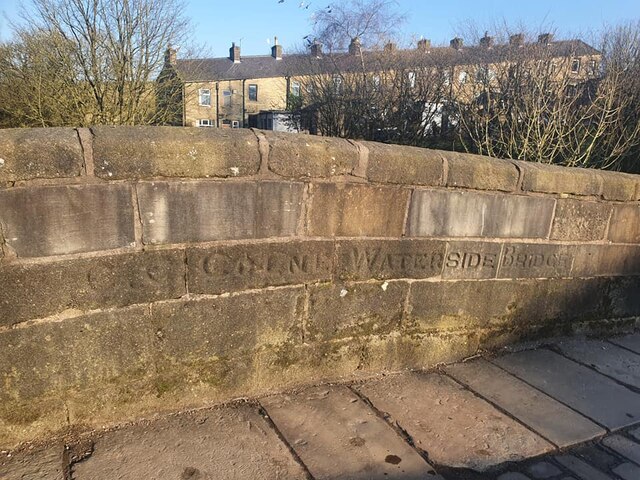
Image: © D Phillips Taken: Unknown
Bridge Marker set in the east bridge parapet of Waterside Bridge, Colne Water where Lenches Road meets Mill Green. Colne parish. Inscribed C C COLNE WATERSIDE BRIDGE. Milestone Society National ID: LA_COLNE03br
Images are licensed for reuse under creativecommons.org/licenses/by-sa/2.0
Image Location
Latitude
53.85272
Longitude
-2.168412