Care homes in Stockwood
Introduction
The photograph on this page of Care homes in Stockwood by Neil Owen as part of the Geograph project.
The Geograph project started in 2005 with the aim of publishing, organising and preserving representative images for every square kilometre of Great Britain, Ireland and the Isle of Man.

There are currently over 7.5m images from over 14,400 individuals and you can help contribute to the project by visiting https://www.geograph.org.uk
Care homes in Stockwood
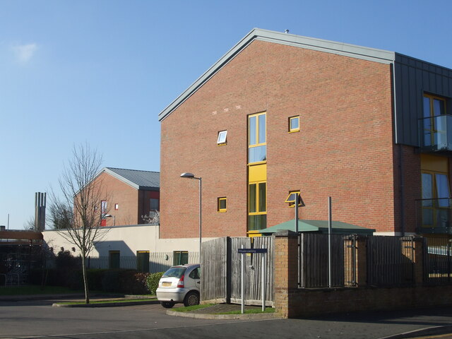
Image: © Neil Owen Taken: 28 Feb 2021
The new development on the site of the old care homes stand high above the surrounding houses; the brickwork of Christ the Servant church is in the background.
Images are licensed for reuse under creativecommons.org/licenses/by-sa/2.0
Image Location
Latitude
51.411544
Longitude
-2.546617