Coombs Wood, as seen from Blaze Fell
Introduction
The photograph on this page of Coombs Wood, as seen from Blaze Fell by Jacob St John as part of the Geograph project.
The Geograph project started in 2005 with the aim of publishing, organising and preserving representative images for every square kilometre of Great Britain, Ireland and the Isle of Man.

There are currently over 7.5m images from over 14,400 individuals and you can help contribute to the project by visiting https://www.geograph.org.uk
Coombs Wood, as seen from Blaze Fell
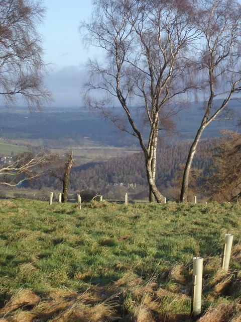
Image: © Jacob St John Taken: 30 Jan 2008
Taken from the new plantation just east of Blaze Fell quarry. Newly planted trees are visible in the foreground and the cliffs in Coombs Wood are just visible towards the centre of the image.
Images are licensed for reuse under creativecommons.org/licenses/by-sa/2.0
Image Location
Latitude
54.792839
Longitude
-2.771987