Dadford's Bridge near Amblecote, Dudley
Introduction
The photograph on this page of Dadford's Bridge near Amblecote, Dudley by Roger Kidd as part of the Geograph project.
The Geograph project started in 2005 with the aim of publishing, organising and preserving representative images for every square kilometre of Great Britain, Ireland and the Isle of Man.

There are currently over 7.5m images from over 14,400 individuals and you can help contribute to the project by visiting https://www.geograph.org.uk
Dadford's Bridge near Amblecote, Dudley
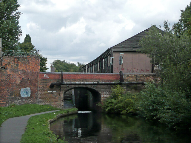
Image: © Roger Kidd Taken: 27 Aug 2010
Dadford's Bridge carries Mill Street across the Stourbridge Canal by Stourbridge Locks No 12. Looking north-east towards Leys Junction, about three quarters of a mile (Dudley No 1 Canal).
Images are licensed for reuse under creativecommons.org/licenses/by-sa/2.0
Image Location
Latitude
52.476776
Longitude
-2.155726