A mark on a barn on Barn Hill
Introduction
The photograph on this page of A mark on a barn on Barn Hill by Neil Owen as part of the Geograph project.
The Geograph project started in 2005 with the aim of publishing, organising and preserving representative images for every square kilometre of Great Britain, Ireland and the Isle of Man.

There are currently over 7.5m images from over 14,400 individuals and you can help contribute to the project by visiting https://www.geograph.org.uk
A mark on a barn on Barn Hill
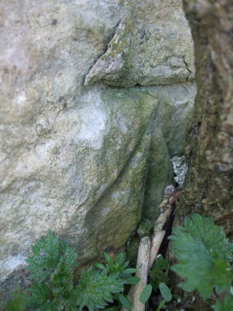
Image: © Neil Owen Taken: 26 Feb 2021
White Hill can be approached from Barn Hill, the road from Single Hill. At the junction with the road named White Hill there is a small, covered and all but unrecognisable reservoir. Close by is a residential building which seems to have been a farm barn or such. A cut benchmark was made on its wall in the nineteenth century, slightly obscured by vegetation. See https://www.bench-marks.org.uk/bm142372 for the entry in the Benchmark Database or Image] for a wider view.
Images are licensed for reuse under creativecommons.org/licenses/by-sa/2.0
Image Location
Latitude
51.308072
Longitude
-2.408668