Brett quarry
Introduction
The photograph on this page of Brett quarry by Chris Boucher as part of the Geograph project.
The Geograph project started in 2005 with the aim of publishing, organising and preserving representative images for every square kilometre of Great Britain, Ireland and the Isle of Man.

There are currently over 7.5m images from over 14,400 individuals and you can help contribute to the project by visiting https://www.geograph.org.uk
Brett quarry
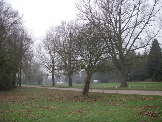
Image: © Chris Boucher Taken: 2 Mar 2021
Looking towards the model railway track and football pitch. There is some talk of making this a leisure park. Part of a series of images recording the land before proposed redevelopment in the Sturry area.
Images are licensed for reuse under creativecommons.org/licenses/by-sa/2.0
Image Location
Latitude
51.301477
Longitude
1.126789