A very wet and muddy footpath, Kirkheaton
Introduction
The photograph on this page of A very wet and muddy footpath, Kirkheaton by Humphrey Bolton as part of the Geograph project.
The Geograph project started in 2005 with the aim of publishing, organising and preserving representative images for every square kilometre of Great Britain, Ireland and the Isle of Man.

There are currently over 7.5m images from over 14,400 individuals and you can help contribute to the project by visiting https://www.geograph.org.uk
A very wet and muddy footpath, Kirkheaton
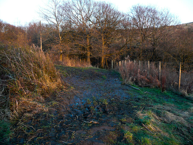
Image: © Humphrey Bolton Taken: 28 Feb 2021
It looks as if there is a spring here, and the water is not getting away. I had walked slowly round on the dead plants on the left, trying unsuccessfully to avoid the many creeping bramble stems - I had forgotten to bring my pocket secateurs. Incidentally the line of the path shown on the on-line rights-of-way map and the Explorer map is incorrect. It should obviously go via the footbridge, as shown on the 1893 1:2500 map and as exists on the ground.
Images are licensed for reuse under creativecommons.org/licenses/by-sa/2.0
Image Location
Latitude
53.65438
Longitude
-1.715969