Fenced Bunker
Introduction
The photograph on this page of Fenced Bunker by Steve Barnes as part of the Geograph project.
The Geograph project started in 2005 with the aim of publishing, organising and preserving representative images for every square kilometre of Great Britain, Ireland and the Isle of Man.

There are currently over 7.5m images from over 14,400 individuals and you can help contribute to the project by visiting https://www.geograph.org.uk
Fenced Bunker
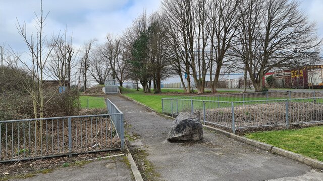
Image: © Steve Barnes Taken: 1 Mar 2021
I suspect that this is something to do with the Water Board but it is well and truly fenced.
Images are licensed for reuse under creativecommons.org/licenses/by-sa/2.0
Image Location
Latitude
51.496397
Longitude
-3.553719