Jewish Cemetery (Closed)
Introduction
The photograph on this page of Jewish Cemetery (Closed) by Anthony O'Neil as part of the Geograph project.
The Geograph project started in 2005 with the aim of publishing, organising and preserving representative images for every square kilometre of Great Britain, Ireland and the Isle of Man.

There are currently over 7.5m images from over 14,400 individuals and you can help contribute to the project by visiting https://www.geograph.org.uk
Jewish Cemetery (Closed)
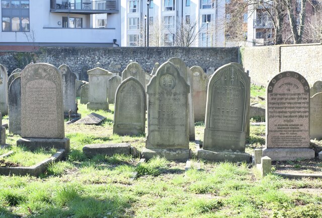
Image: © Anthony O'Neil Taken: 28 Feb 2021
Burials here date from 1762 to 1944. The gravestone inscriptions are in Hebrew script.
Images are licensed for reuse under creativecommons.org/licenses/by-sa/2.0
Image Location
Latitude
51.453115
Longitude
-2.578056