Moss Street and Institute Lane
Introduction
The photograph on this page of Moss Street and Institute Lane by Anne Burgess as part of the Geograph project.
The Geograph project started in 2005 with the aim of publishing, organising and preserving representative images for every square kilometre of Great Britain, Ireland and the Isle of Man.

There are currently over 7.5m images from over 14,400 individuals and you can help contribute to the project by visiting https://www.geograph.org.uk
Moss Street and Institute Lane
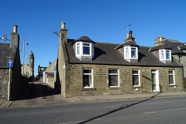
Image: © Anne Burgess Taken: 26 Feb 2021
About 20 narrow lanes link the main streets of Keith. Institute Lane is named after the Institute, the building with the prominent clock tower in Mid Street.
Images are licensed for reuse under creativecommons.org/licenses/by-sa/2.0
Image Location
Latitude
57.541056
Longitude
-2.9488