Watch house in Putney Burial Ground
Introduction
The photograph on this page of Watch house in Putney Burial Ground by Marathon as part of the Geograph project.
The Geograph project started in 2005 with the aim of publishing, organising and preserving representative images for every square kilometre of Great Britain, Ireland and the Isle of Man.

There are currently over 7.5m images from over 14,400 individuals and you can help contribute to the project by visiting https://www.geograph.org.uk
Watch house in Putney Burial Ground
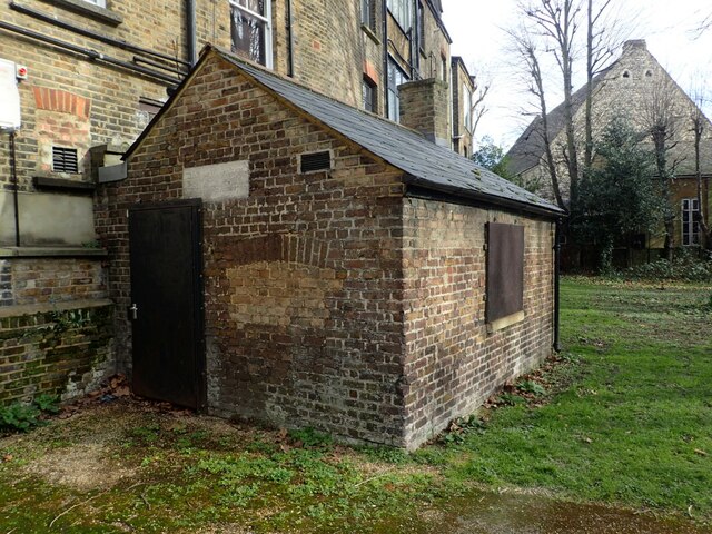
Image: © Marathon Taken: 24 Feb 2021
Putney Burial Ground was opened in 1763 and is immediately to the south of Upper Richmond Road. This building also dates from 1763 as can be seen from the date over the door - a close up of the notice can be seen at https://www.geograph.org.uk/photo/6765549 The building was presumably a watch house to deter grave robbers.
Images are licensed for reuse under creativecommons.org/licenses/by-sa/2.0
Image Location
Latitude
51.461452
Longitude
-0.220499