Craig-y-Parcau Local Nature Reserve Information Board
Introduction
The photograph on this page of Craig-y-Parcau Local Nature Reserve Information Board by Steve Barnes as part of the Geograph project.
The Geograph project started in 2005 with the aim of publishing, organising and preserving representative images for every square kilometre of Great Britain, Ireland and the Isle of Man.

There are currently over 7.5m images from over 14,400 individuals and you can help contribute to the project by visiting https://www.geograph.org.uk
Craig-y-Parcau Local Nature Reserve Information Board
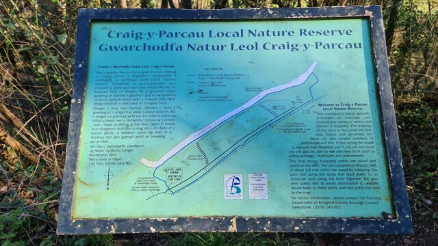
Image: © Steve Barnes Taken: 28 Feb 2021
Showing footpaths through Craig-y-Parcau Local Nature Reserve which contains a number of walking trails through the deciduous woodland. Official Site: https://www.bridgend.gov.uk/visit-us/nature-reserves/craig-y-parcau-local-nature-reserve/ (Note that most are not suited to the mobility challenged being unsurfaced and including steep portions and steps in places.)
Images are licensed for reuse under creativecommons.org/licenses/by-sa/2.0
Image Location
Latitude
51.502411
Longitude
-3.588071