Different land uses, north of Snow Hill
Introduction
The photograph on this page of Different land uses, north of Snow Hill by Christine Johnstone as part of the Geograph project.
The Geograph project started in 2005 with the aim of publishing, organising and preserving representative images for every square kilometre of Great Britain, Ireland and the Isle of Man.

There are currently over 7.5m images from over 14,400 individuals and you can help contribute to the project by visiting https://www.geograph.org.uk
Different land uses, north of Snow Hill
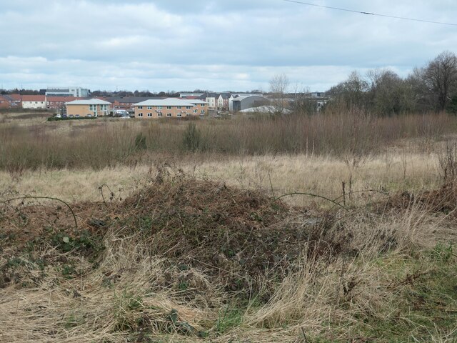
Image: © Christine Johnstone Taken: 26 Feb 2021
In the foreground, unused private land which was once farmed. In the distance, business premises at Red Hall Court, off the A650.
Images are licensed for reuse under creativecommons.org/licenses/by-sa/2.0
Image Location
Latitude
53.699108
Longitude
-1.510739